Wyoming faces significant challenges with weather conditions on its interstate highways, particularly due to its location in the Rocky Mountains region. The state’s three major interstates regularly endure severe weather, making travel difficult and hazardous.
Severe weather heightens crash risks, leading to delays, disrupting traffic flow, and increasing road maintenance costs. These issues are exacerbated by the impacts of climate change, making the situation increasingly difficult.
The weather is not just a local issue. Wyoming’s interstates serve as key national truck routes: two run coast to coast, while the third connects the state to New Mexico and Colorado from north to south.
Around 50 to 80 percent of the traffic on Wyoming’s interstates are trucks, which are particularly vulnerable to high winds and vehicle blow-overs. These crashes have averaged at almost 170 per year between the 2020-2022 period.
In May 2023, the state’s Joint Committee on Transportation, Highways, and Military Affairs raised these issues as a serious concern. Before the end of the year, the Wyoming Department of Transportation (WYDOT) developed and implemented a GIS (Geographic Information System) to address these unique challenges.
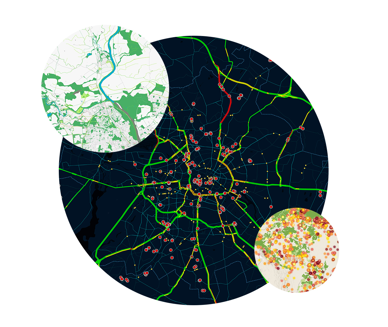
![]() The solution provides real-time alerts to commercial vehicle (CV) owners and operators and introduces weight-based rather than blanket road closures.
The solution provides real-time alerts to commercial vehicle (CV) owners and operators and introduces weight-based rather than blanket road closures.
The initial results of the solution have been encouraging, with only seven blow-overs recorded between October 2023 and February 2024. The WYDOT plans on ensuring compliance by introducing a system of fines to deter drivers from disregarding the alerts.
The solution was developed by leveraging research undertaken by Dr. Noriaki Ohara, associate professor at the University of Wyoming’s College of Engineering & Physical Sciences, and GIS software from ESRI– one of the leading providers of mapping and spatial analytics technology.
The increasing number of blow-overs results from several factors including changes in driver characteristics with more experienced motorists on the roads. Some trucking companies even encourage drivers to ignore road closures, promising to cover fines if necessary.
The prevalence of newer, lighter trucks designed to save on fuel makes these vehicles more prone to blow-overs. In addition, the rise in empty trucks returning from distribution centers in and around Cheyenne, the state capital, has further intensified the issue.
“It’s not the heavy, fully loaded trucks that tend to tip over,” says Nick Graf, geospatial project manager at the Wyoming DOT, “it’s the empty trucks returning to the centers that are really problematic.”
In August 2023, the DOT consulted with the Wyoming Trucking Association and obtained their consent for the new approach to road closures. The first weight-based road closure was then implemented on October 25.
Dr. Ohara’s research on the physics of blow-over crashes used data from the weather station on I-25 at Wyo Hill. This data is extrapolated across the state’s road networks by the WYDOT GIS team.
The new approach utilizes “cones of risk” to assess vehicle susceptibility to blow-overs, improving safety by addressing previously ambiguous factors and their interactions related to vehicle and wind conditions.
ArcGIS Pro from ESRI is essential to this new solution, as it integrates real-time weather data from 94 statewide monitoring stations with roadway characteristics across the state. Additionally, the solution incorporates lidar data from Cyclomedia’s Street Smart service to accurately map road slope angles and superelevation, which influence blow-over risks.
 By combining this data with road azimuth information, the team was able to integrate Ohara’s risk models into the system effectively.
The Transportation Management Center (TMC) staff handles the public dissemination of information generated by the system. They are now able to respond swiftly to weather events, with updates provided within 15 minutes of any weather changes.
TMC uses various media to communicate information, including a commercial vehicle operator portal, social media video feeds, roadside signs, and in-vehicle solutions. The message content is also becoming more detailed, with specific weight restrictions communicated for different conditions.
WYDOT plans to integrate the system with other systems, such as the 511-traveler information hotline. Another aim is to create self-evaluation solutions allowing drivers to enter their vehicle information to determine which restrictions apply to them for current weather conditions. Further spatial variables may also be included in the system, such as vehicle ride height above the ground.
Related Items
Minnesota Department of Transportation Leverages Iteris’ ClearMobility Cloud
The Automotive Market Pivots Hard to Generative AI and the Metaverse
Self-Driving Cars vs. Coding Copilots
The post Wyoming DOT Uses GIS to Reduce Truck Blow-Overs appeared first on Datanami.


0 Commentaires